Saturday afternoon and evening storms could briefly turn severe in latest Philadelphia weather forecast

Carry the umbrella today and keep an eye on the sky for the possibility of severe weather in the Philadelphia region.
Storms began to roll in around 1 p.m., with severe thunderstorm warnings popping up in Delaware and South Jersey Saturday afternoon.
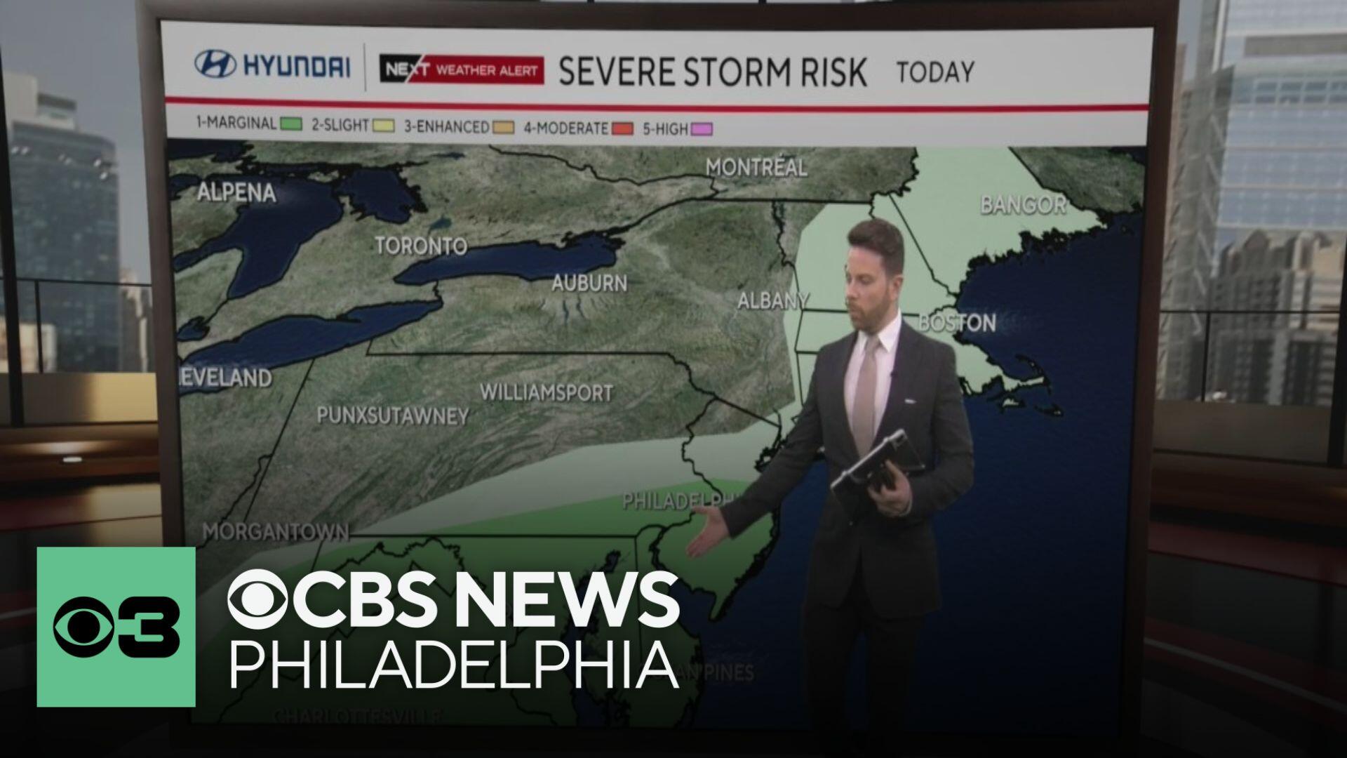
Part of our region is under a Level 1 or "slight" risk of severe weather with the possibility of gusty storms. These storms could cause wind damage and bring scattered downpours, however, not everyone will see a storm.

We have a NEXT Weather Alert in effect for these storms arriving later in the day.
Phillies forecast: shower chances during Game 2 vs. Brewers
The Phillies take on Rhys Hoskins and the Milwaukee Brewers once again on Saturday afternoon, with first pitch set for 4:05 p.m. at Citizens Bank Park.
During this game, the field could be a little wet after some showers before the game or in the early innings.

For the later innings tonight, skies will clear, and breezy conditions will continue.
Rest of the week: warming up before more storm chances
Overnight, temperatures will drop to near 50 degrees by sunrise.
Meteorological summer begins Sunday, and although cool and breezy with highs near 70, it will be storm-free with sun in the morning, followed by fair weather clouds in the afternoon.
Much of next week looks dry and hot. Monday will be mostly sunny, and the last of the 70s for a while.
Tuesday through Friday, the summer-like heat arrives with 80s on Tuesday. We will be chasing the 90s on Wednesday and Thursday. Another round of showers and storms arrives Friday.
Here's your 7-day forecast:

Saturday: NEXT Weather Alert. High 69
Sunday: Sun and clouds with a breeze. High 70, Low 50
Monday: Sunny and mild. High 76, Low 53
Tuesday: Warming up. High 85, Low 58
Wednesday: The heat is on! High 90, Low 64
Thursday: More summer heat. High 90, Low 68
Friday: Chance of T-storms. High 87, Low 71


