Thursday in the Philadelphia region will be warmer after a dreary Wednesday. Here's the forecast.

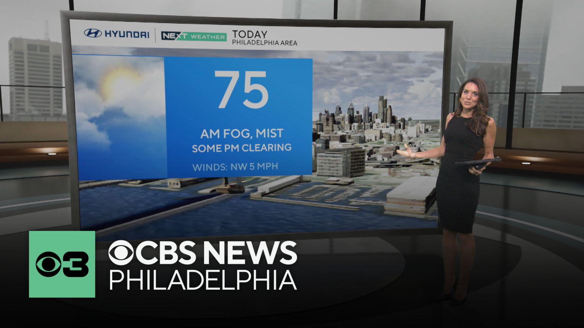
Thursday starts out with wet roads and areas of fog, after a pretty damp and dreary Wednesday in the Philadelphia region.
We will see some mist and drizzle early before rain moves out by the afternoon, giving way to a little sunshine and warmer temperatures, but also the chance for a passing shower or two.

Generally speaking, we'll be dry but watching for that chance.
Rain will, however, return on Friday as another storm system approaches the area. Right now, the timing looks to be an early wave in the morning, with another round late afternoon and evening, with an additional half-inch to an inch possible in spots.
A few more showers and cooler conditions are expected Saturday, but a much warmer and drier trend starts on Sunday.
Meteorological summer begins on June 1, and for now, conditions look dry for the Philadelphia Pride Parade and Festival.
Next week is looking like it will feel every bit like summer with high temps reaching the mid-80s! We'll keep you posted.
7-day forecast

Thursday: Clouds to sun. High of 77, low of 57
Friday: Showers. High of 76, low of 63.
Saturday: Showers, some sun. High of 69, low of 60.
Sunday: Mostly sunny. High of 71, low of 53.
Monday: Mostly sunny. High of 76, low of 54.
Tuesday: Warming up. High of 82, low of 56.
Wednesday: Staying warm. High of 85, low of 59.


