Flossie becomes hurricane off Mexico's west coast after Barry makes landfall as tropical depression

Two tropical storms formed Sunday on both of Mexico's coasts, and they are expected to drench the region for several days.
Barry, the second named storm of this year's Atlantic hurricane season, became a tropical depression by Sunday night, when it made landfall shortly before 11 p.m. ET. It made landfall over Mexico's east coast about 15 miles south-southeast of Tampico, according to the U.S. National Hurricane Center in Miami.
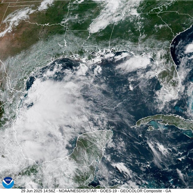
Barry was rapidly weakening as it moved inland. Forecasters, who issued a tropical storm warning, said the storm could dump three to six inches of rain with an isolated maximum total of 10 inches across Veracruz, San Luis Potosi and Tamaulipas through Monday.
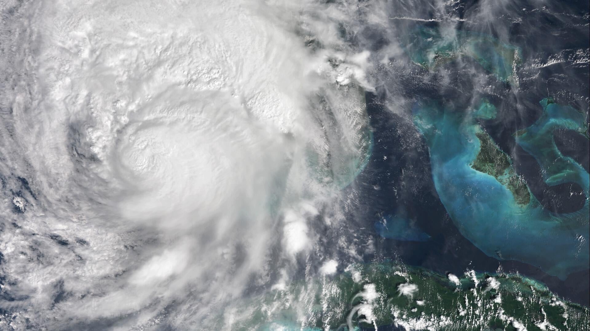
Meanwhile, off Mexico's southwest coast, Tropical Storm Flossie formed on Sunday and strengthened into a hurricane Monday night. As of 10 p.m. ET Monday, it was located about 175 miles south of Manzanillo, Mexico, and was moving west-northwest at 10 mph with maximum sustained winds of 75 mph.
Flossie is expected to remain in open water just west of Mexico, forecasters said.
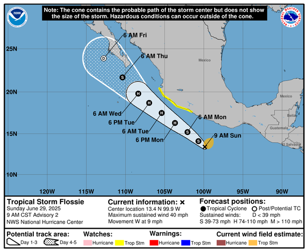
The storm could dump three to six inches of rain across Oaxaca, Guerrero, Michoacan, Colima and Jalisco through early next week.
The Pacific hurricane season began on May 15, while the Atlantic hurricane season is from June 1 until Nov. 30, with peak activity typically occurring between mid-August and mid-October.
NOAA officials predicted a 60% chance of an "above-normal" Atlantic hurricane season, with between 13 to 19 named storms. Six to 10 of those are expected to strengthen into hurricanes, and three to five could become major hurricanes, forecasters said.