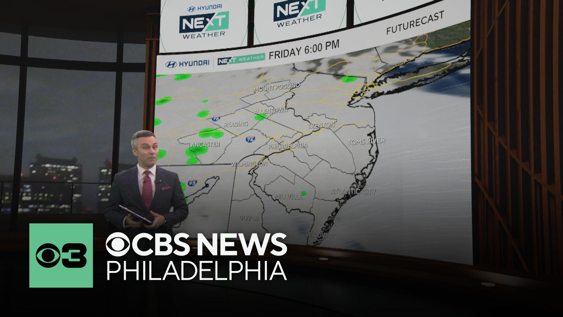
Temperatures cool off Friday in Philadelphia before a hot weekend with storms possible. Here's the forecast.

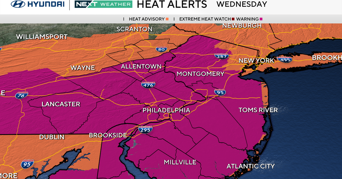
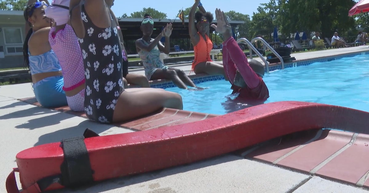
Major change has arrived in the Philadelphia area. The first official heat wave of the season is over … and in a major way!
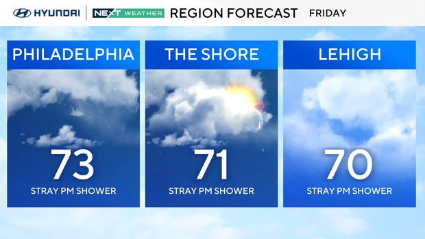
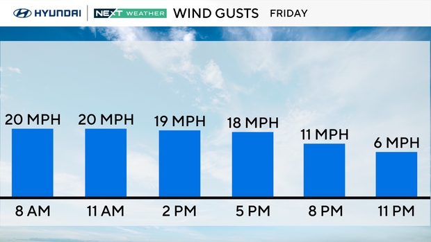
Temperatures on Friday will stay in the mid to low 70s for highs — yes, the SEVENTIES!! A welcome change for many, I'm sure.
It will certainly be nice for our wallets, as we can give the air conditioning a break for a day or so.
The clouds and showers will last for just one day as more seasonably warm summer weather returns for the weekend, although the pattern will remain quite unstable with passing showers and storms possible each day.
Humidity levels will also bounce back up with dewpoints in the 70s again, meaning the pea-soup conditions will be back with us, though the upper 90s and low 100s will not!
Next week we have a brief dry break on Monday before more summer instability returns. Enjoy!
Here's your 7-day forecast:
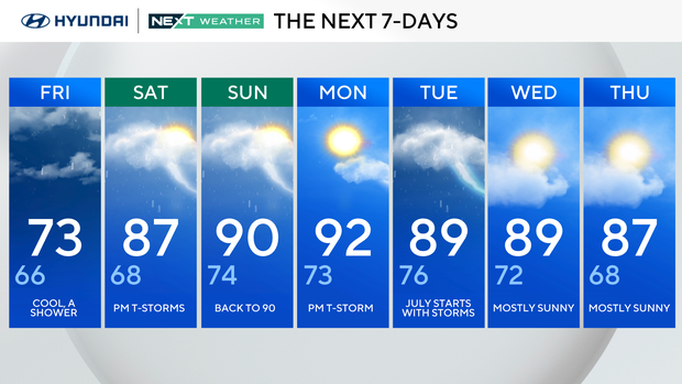
Friday: Cool, a shower. High 73, Low 66.
Saturday: P.m. thunderstorms. High 87, Low 68.
Sunday: Back to 90. High 90, Low 74.
Monday: P.m. thunderstorm. High 92, Low 73.
Tuesday: July starts with storms. High 89, Low 76.
Wednesday: Mostly sunny. High 89, Low 72.
Thursday: Mostly sunny. High 87, Low 68.