NEXT Weather Alert: Strong storms possible for South Florida

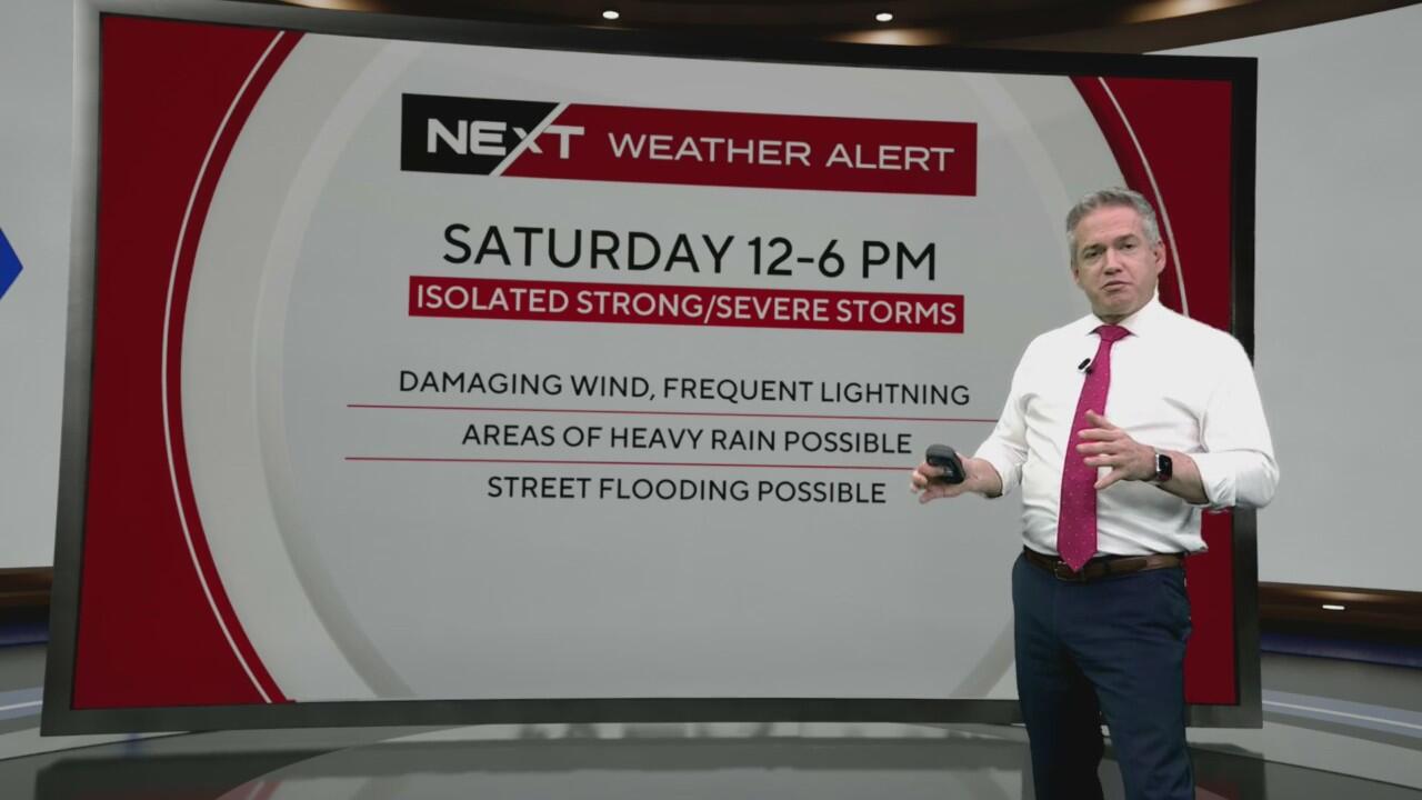
The CBS News Miami Next Weather Team is issuing a NEXT Weather Alert Day on Saturday from noon - 6 p.m.
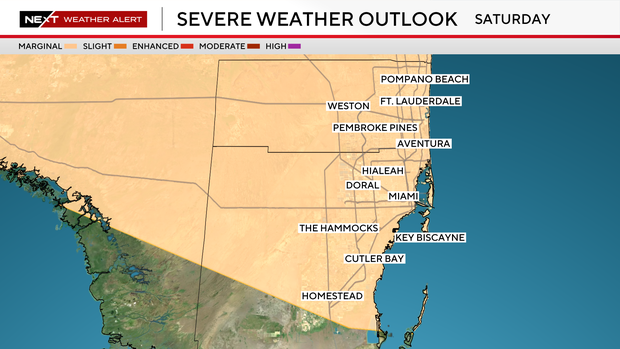
The Storm Prediction Center has placed Broward and Miami-Dade counties at a severe weather threat level 1 out of 5 for isolated but strong to severe storms.
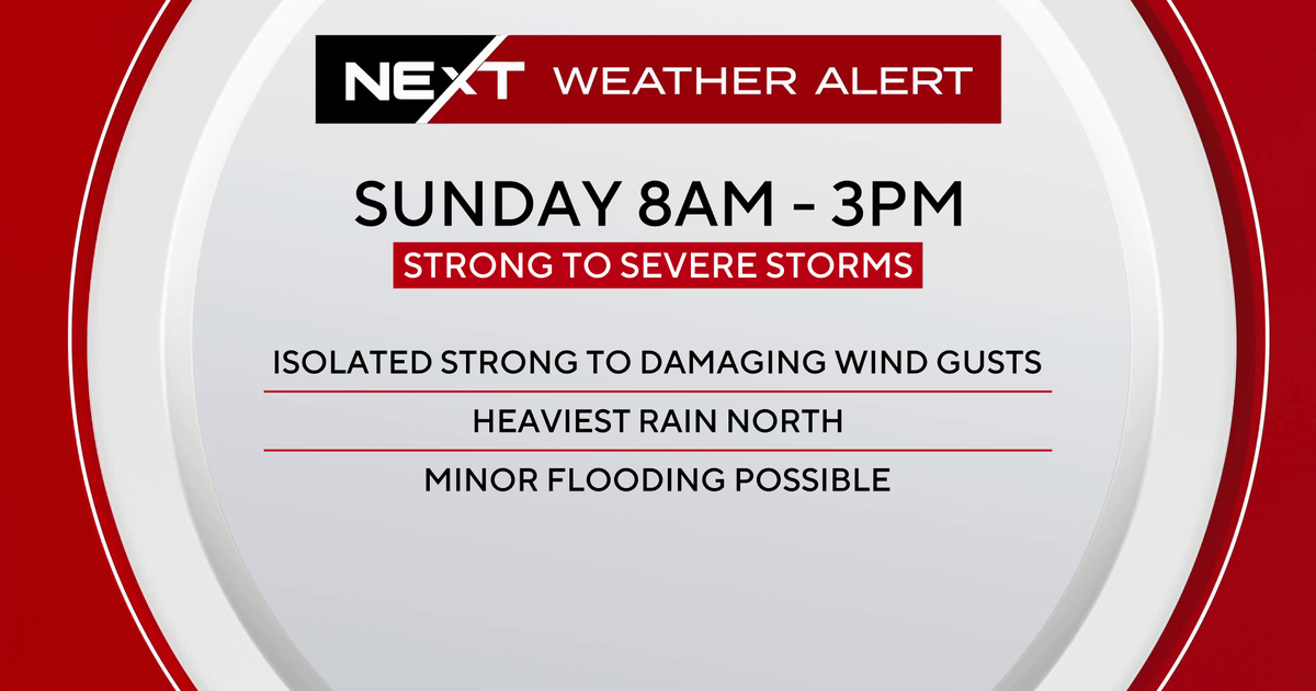
The primary hazard will be strong to damaging wind gusts. If you have plans outdoors, you'll need an indoor backup by the afternoon.
We continue tracking a front moving into and then stalling over the area through Sunday. At the same time, a mid-level disturbance passing north of the region Saturday night into Sunday adds lift to the atmosphere. This, combined with daytime heating and the sea breeze, creates enough instability for isolated strong to severe storms Saturday afternoon and early evening.
Despite a Saharan Air Layer (SAL) above us, the storms should be able to compensate for this due to a deep tropical moisture increase. And in fact, upper-level dry air can actually result in stronger wind gusts when storms grow and hit that dry layer.
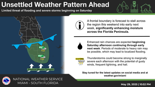
With the deeper moisture, the storms that do develop will also be capable of heavy rainfall and minor flooding.
Storm chances remain high again on Sunday and although the severe aspects will be slightly lower, one or two strong storms can't be ruled out in the afternoon and evening.
An unsettled pattern continues into the early week as the stalled front and a secondary and strengthening mid-level disturbance will result in more storms and additional Next Weather Alerts day may be needed by Monday.
The one variable that remains in question is a stronger Saharan Dust plume moving in next week and potentially drying the air and reducing storm coverage.