Skies clear across North Texas after morning of storms

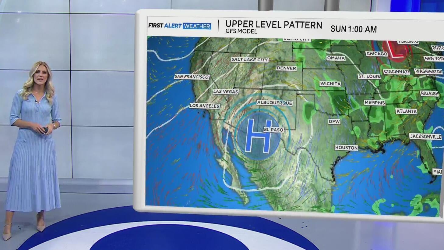
After a soggy couple of days for parts of North Texas, the area of low pressure that brought the flood threat is exiting to the northeast as a ridge of high pressure builds into the southwest.
In Palo Pinto County, the Santo Volunteer Fire Department reported up to 4' of water on roads after storms late Wednesday night.
What that leaves us with into the weekend is drier conditions, with just isolated shower chances.

That will be the story for our Friday. An isolated shower, with partly cloudy skies, and warmer temperatures, back close to 90°.

The pool will be a fantastic place to be as we head into Father's Day weekend. It will be a warm one, with highs right back close to normal for this point in the year, but feeling a couple of degrees hotter with high humidity.

As mentioned, the area of low pressure that brought rain to the region over the last few days will exit to the northeast. But in its wake, it will leave a slight weak spot in the ridge of high pressure bringing us the drier weather — as a result, that isolated shower chance will linger. We'll be eyeing a cluster of storms in Oklahoma, specifically on Saturday, that may bring a brief threat for strong winds, mainly for our Red River counties, Saturday evening.

But as we get into the next workweek, we're starting to look more like summer in North Texas. Highs stick in the 90s, with a muggy feel, and mainly dry conditions settle in.


