Threat of large hail, damaging winds and flooding returns Tuesday across North Texas

Good Monday morning!
Luckily, the day starts quietly on Monday after Sunday night's severe storms.
Numerous hail reports were focused on Parker and southern Tarrant counties.
Hail sizes ranged from a dime to a baseball!

Monday is the break in between the storms with lots of sunshine in the afternoon and highs in the lower 90s.

The break is short-lived as the First Alert Weather Team is tracking the next round of strong to severe storms Tuesday afternoon into the evening hours.
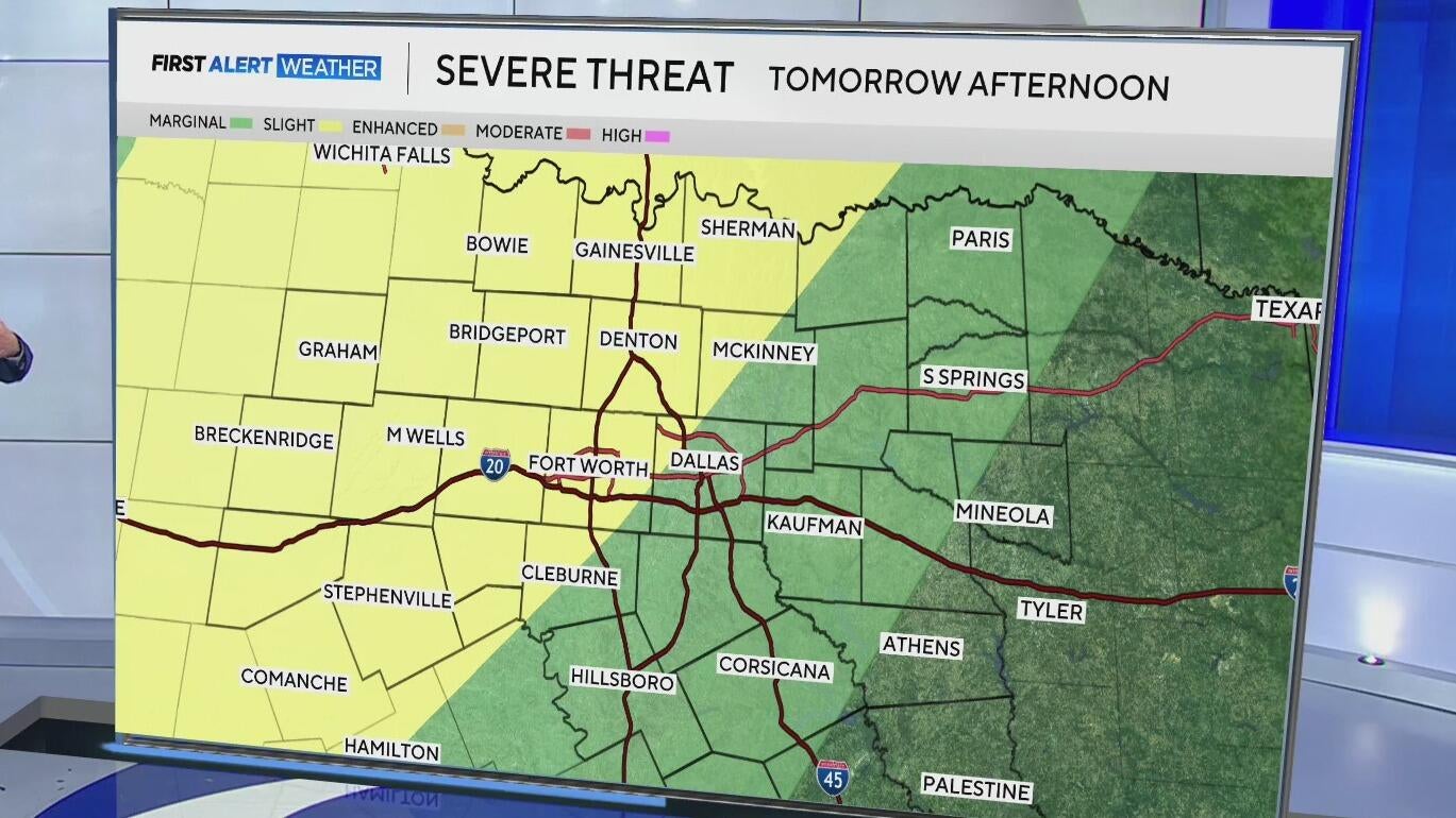
Tuesday is a First Alert Weather Day due to the threat of large hail, damaging winds, and localized flooding.
The greatest severe threat is for areas along and west of I-35, where storms will initiate.

It could be a bumpy evening commute for some on Tuesday as storms develop off a dryline to our west and along an incoming front.

Storms will track east overnight, but the front will stall out east of I-35, remaining the focus for more showers and storms on Wednesday.
Areas west of I-35 will mainly see mostly cloudy skies and slightly cooler temperatures with highs in the lower 80s.

The active pattern remains through the rest of the work week with rain chances focused along the Red River into the weekend.

Have a great day!


