Canadian wildfire smoke in the Pittsburgh area will be thickening today and causing poor air quality

Canadian wildfire smoke in the Pittsburgh area will be thickening today and causing poor air quality throughout the region.
Any Alert Days Ahead? Friday may end up being one but right now the chance looks VERY low. Next Monday probably has a slightly higher chance of being a First Alert Weather Day but chance is still low.
Aware: Air quality will be the lowest in the Mon Valley today, but that is due to pollutants from local factories more than it is due to Canadian smoke. The 'Pittsburgh Smells' App will likely see an active day today.
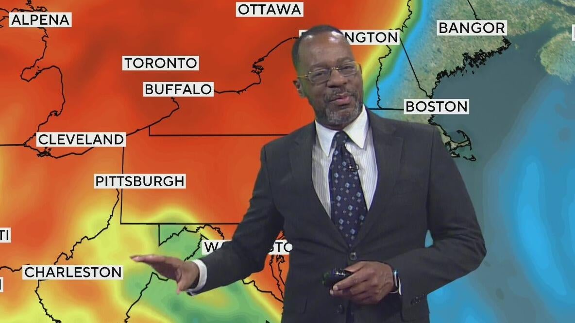
It's always something isn't it? We finally get a couple of days where temperatures will be about where you'd expect them to be, but Canadian wildfire smoke is back. Overall, the most noticeable impact from the smoke is expected to be gorgeous sunrises and sunsets. With the current atmospheric set-up, we know that some of the smoke that's aloft will 'mix' down to the surface. This, along with ample Ozone development, will lead to air quality conditions in the 'yellow' zone. Yellow is known as 'moderate' air quality. This is the first step past 'good' air quality. There are five steps, with the next step being 'orange'. Orange is the 'sensitive' range. The difference is that moderate means people with respiratory issues may be a little short of breath today. The sensitive range adds young children and older folks to the list of people who may be impacted.

On top of dealing with Canadian smoke, we will also see a spike in Ozone this afternoon with ample sunshine. Ozone is created in the atmosphere through a chemical process where the sun's ultraviolet rays cause the development of Ozone-3 (O3). This happens on sunny days.
Finally, the Mon Valley will see the worst conditions today (and all week) due to high pressure trapping particulates from factory exhaust at the surface. At times yesterday, the Liberty & North Braddock air quality sensors dipped to red. That means the air was unhealthy for everyone.
Getting back to the forecast, rain stays away through Thursday morning. Highs today should return to the 80s with noon temperatures in the mid-70s. Winds will be light, coming in out of the south at around 5mph. We could see winds gusting past 15mph. Wednesday will likely be the hottest day of the week; I have Pittsburgh hitting a high temperature of 87°.
I keep us just as warm on Thursday, even with the rain chance. I have us hitting 86° for Thursday's high. I also keep us in the mid 80s on Friday before we cool down just a bit for the weekend. I have Saturday highs in the upper 70s with Sunday highs near 80 degrees.

Expect Friday evening rain, so your 'day' will be dry. Saturday looks pretty rainy with passing showers around all day.
WEATHER LINKS:
Current Conditions | School Closings & Delays | Submit Your Weather Photos


