A breezy and cooler Saturday ahead of warmer temperatures in Pittsburgh

Is it really May? It certainly didn't feel like it yesterday or today as we round out the month.
WEATHER LINKS:
Current Conditions | School Closings & Delays | Submit Your Weather Photos
First Alert: None

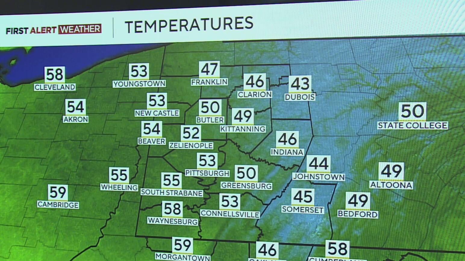
Temperatures Saturday night will dip 10-15 degrees cooler than normal into the lower to mid-40s behind the strong cold front that brought gusty winds today and cool air.
Winds will begin to ease as skies start to clear overnight, and Sunday is shaping up to be a nice day with sunshine and highs in the upper 60s-lower 70s. Monday continues the warmup under a ridge of high pressure, which will leave us several sunny and very warm days by the middle of the week.
We'll go from well below normal this weekend to around 10 degrees warmer than normal by Wednesday, with some areas south of Pittsburgh flirting with the upper 80s to near 90 degrees by late Wednesday afternoon.
Our next chance of showers and storms arrives late week with a system that will knock temps back down to near normal in the mid to upper 70s by next weekend.

Stay up to date with the KDKA Mobile App – which you can download here!


