Muggy and mostly cloudy with a chance for rain and thunderstorms in Philadelphia. Here's the forecast.

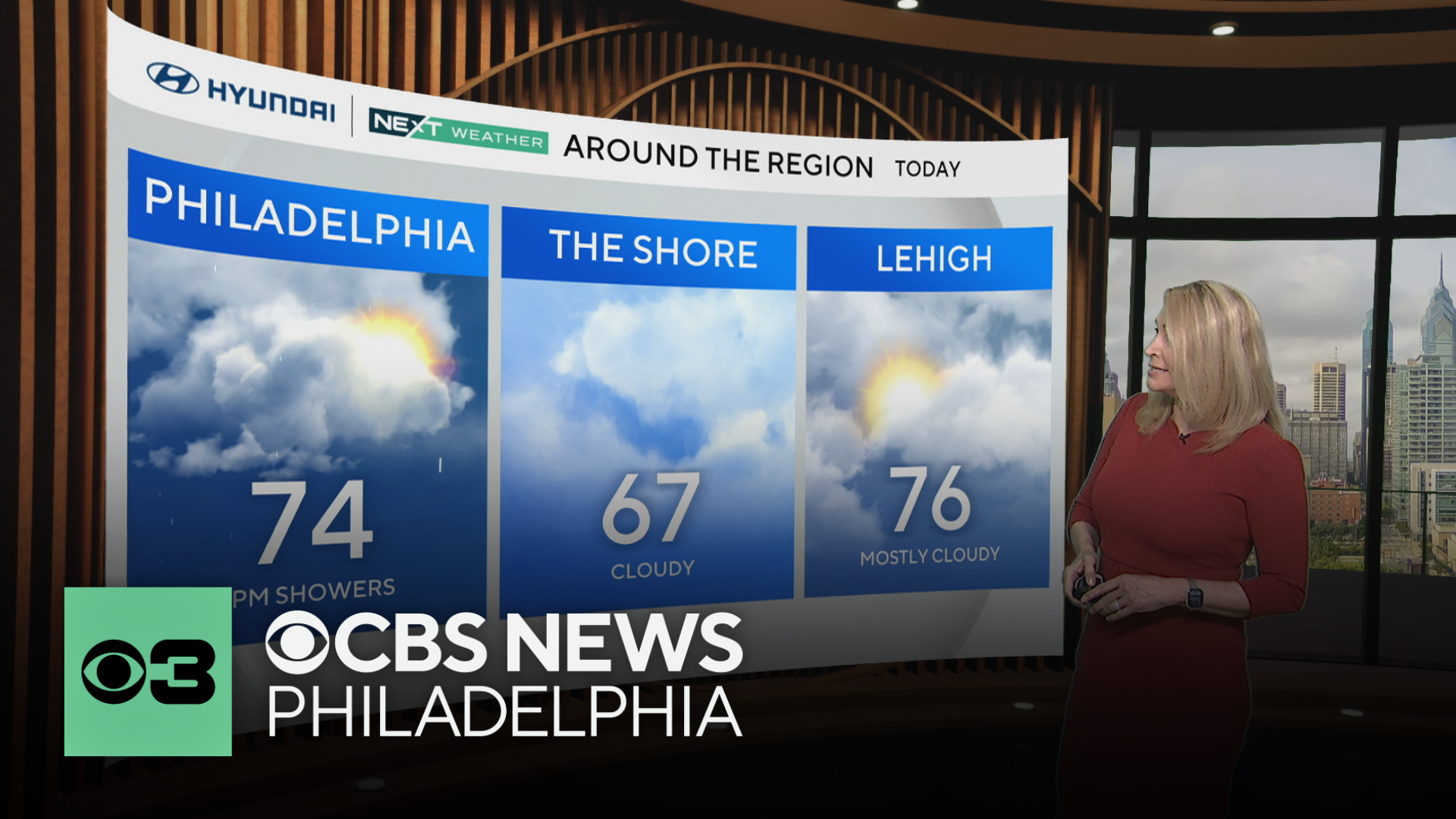
It was a muggy start to the day, despite slightly cooler temperatures than yesterday. Highs will hit the low to mid 70s and skies will remain gray.
An area of low pressure will pass just south of us later today, and combined with our very unstable and buoyant atmosphere, a round of showers and storms is possible from late afternoon though late evening.

Monday begins with a chance of scattered showers early followed by a mostly cloudy day with highs in the low 70s.
Another round of showers and storms arrives throughout the day Tuesday.

The summer-like hot and muggy conditions return Wednesday through Friday as a large ridge of high pressure settles over the region. Skies will be sunny, and highs will range from the mid to upper 80s.
Rain is possible again next weekend. Stay tuned if you have outdoor plans.
Watching the tropics
Barbara, the second named storm of hurricane season, has formed in the eastern Pacific off the southeastern coast of Mexico. It is expected to strengthen to a category 1 hurricane before turning out to sea and dissipating. No landfall is expected.

Tropical Depression Three has formed just west of "Barbara". It is expected to strengthen to tropical storm status by tomorrow. The name will be Cosme (COS-may). The track for this storm looks to remain at sea like Barbara.
In the Atlantic basin things have yet to heat up and conditions are currently quiet.
Here's your 7-day forecast:

Sunday: Shower or storm. High 74.
Monday: Isolated showers. High 72. Low 62.
Tuesday: Scattered storms. High 80. Low 64.
Wednesday: Mostly sunny. High 86. Low 63.
Thursday: Summer heat. High 91. Low 66.
Friday: Continued heat. High 88. Low 68.
Saturday: Chance for showers. High of 78. Low of 66.


