NYC hits 1st heat wave of the season after 3 days above 90 degrees
 By
,
By
,

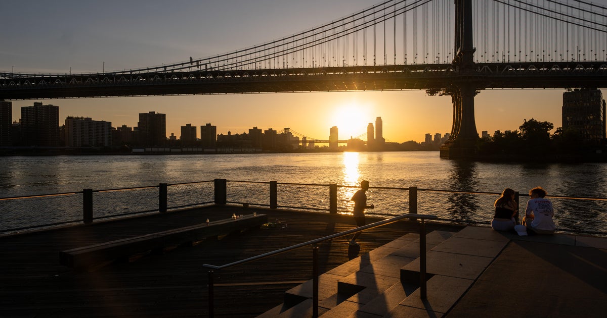
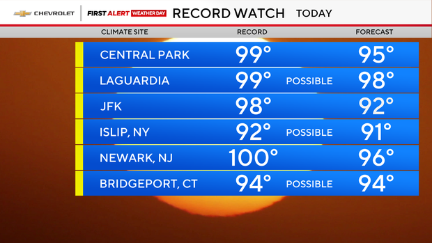
It's officially the first heat wave of the season in New York City and the nearby suburbs. High temperatures hit the 90s Wednesday, for a third day in a row.
It's a First Alert Weather Day, with the following advisories in effect:
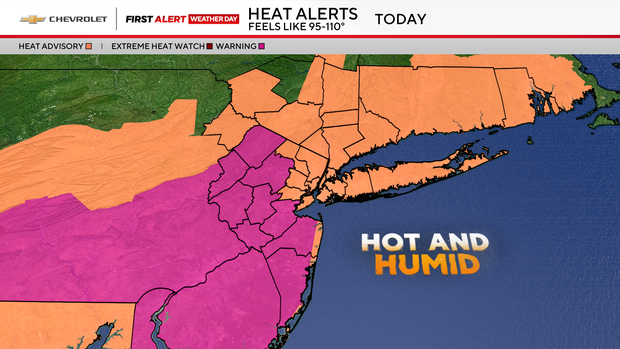
- Excessive heat warning across interior and central New Jersey due to peak heat index values of around 105 degrees
- Heat advisory across much of the area due to peak heat index values of 95 to 104 degrees
- Air quality alert across much of the area due to ground level ozone
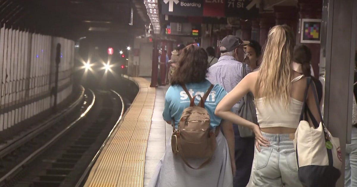
The extreme heat is straining power systems across the Tri-State Area and prompted Con Edison to ask New Yorkers to limit their usage.
As of 11:30 a.m. Wednesday, Con Ed reported 5,374 customers were still without service. In New Jersey, JCP&L reported 2,175 customers out, and PSE&G had 3,462 customers out.
Heat wave confirmed Wednesday
After a stuffy start, temperatures are headed for the mid 90s by Wednesday afternoon. When you factor in the humidity, it will feel like 100.
An approaching cold front also may trigger a strong thunderstorm or two in the afternoon, so do be mindful of that.
Wednesday night will remain unsettled with a few showers around. As for temperatures, they'll retreat into the 70s and 60s -- a slight improvement over Tuesday night.
Set to cool down Thursday
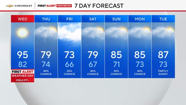
Thursday will kick off with some showers around, but the big story will be the remarkable cool-down, as temperatures struggle to even hit 80.
As for Friday, it will be cloudy and even cooler with highs in the low 70s.