After flash flooding, Minnesotans see brief break in rain with showers to return Thursday


Severe weather is moving out of Minnesota Wednesday evening, providing a brief break in the rain before showers return Thursday.
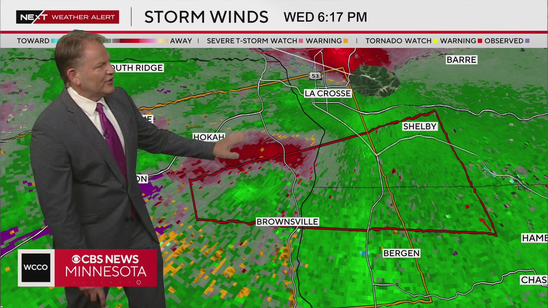
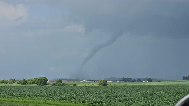
As of 7:30 p.m., there are no active tornado warnings in Minnesota. The National Weather Service Twin Cities says the severe weather threat is over for the evening after several tornado warnings and watches were issued across the state.
Most of the Twin Cities metro and parts of central Minnesota are under a flood watch until 7 a.m. Thursday.
Wednesday afternoon, the National Weather Service issued a flash flood warning for parts of the metro. That warning has since expired. Though more rain is expected on Thursday, it is not expected to cause any new flooding.
If you experience flash flooding, do not drive into any type of water, no matter how shallow it may seem. If you do get caught in your vehicle during a flash flood, the best thing is to safely get out as soon as possible and seek high ground immediately.

Metro residents will notice some improvements on Friday in the form of sunshine and temps inching closer to 80, as high pressure briefly builds in.
The weekend will have some dry time, but two waves of energy slide by, bringing a chance for storms both Saturday and Sunday, possibly impacting Twin Cities Pride events.
It'll be much hotter, too, with highs close to 90.
High pressure is back next week, making for a sunny, seasonable start to the week.