Severe thunderstorm watch issued for Southeast Michigan


Another day of building heat means another risk of severe weather.
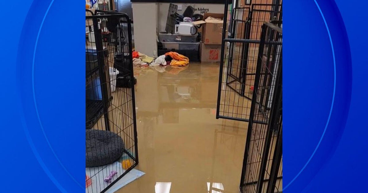
After severe storms with strong winds on Thursday, more storms are expected to develop ahead of a new front on Friday afternoon and evening. That risk will be of interest to those attending or participating in Metro Detroit events such as the Rocket Classic and the Jobbie Nooner.
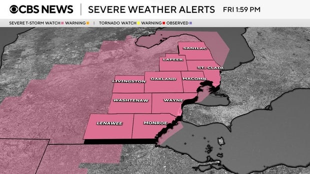
A severe thunderstorm watch was issued at 2 p.m. ET, and is expected to remain in effect until 9 p.m., the National Weather Service reported.
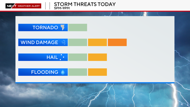
A "Slight" risk (2/5) outlook from the Storm Prediction Center is in place for Friday due to a risk of strong wind gusts, quarter sized hail, and localized flooding with storms that can build in the afternoon and evening.
The NEXT Weather Team will be at our NEXT Alert level due to this risk.
Think of it this way: the gas tank is full, so if we can get a storm or two to build, then it wouldn't take much at all for them to become severe along a new "cool" front.
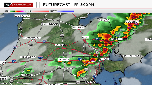
The risk is mainly for the afternoon and the evening.
Stay with the NEXT Weather Team for updates on our isolated risk and whether the severe potential changes.