Colorado could see heavy rain, damaging hail and strong winds on this First Alert Weather Day

Rare morning severe storms brought damaging hail to parts of Northern and Eastern Colorado. Those areas could get hit again as conditions are ripe for more storms Tuesday afternoon.

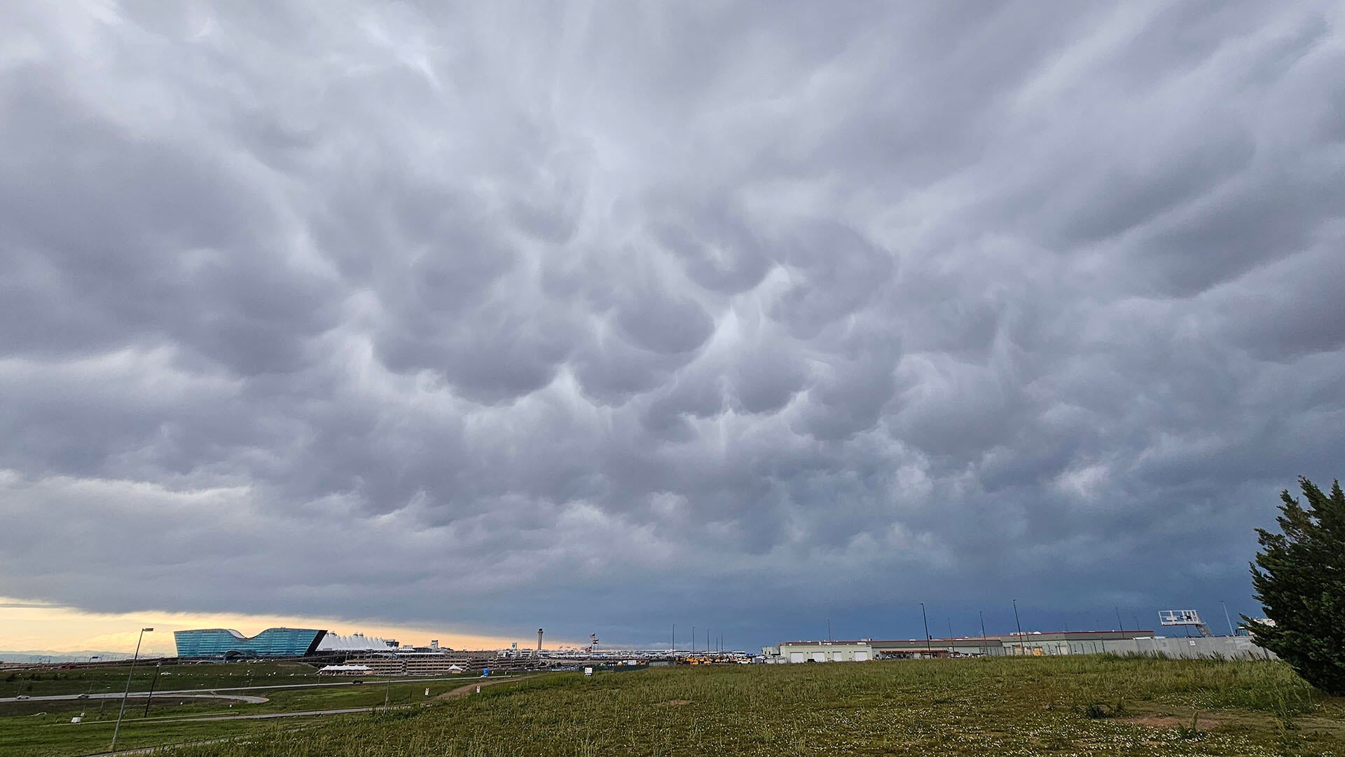
A very moisture-rich atmosphere led to the development of several severe thunderstorms beginning around 3 a.m. Tuesday. Some storms brought baseball-sized hail to parts of Northern Colorado, such as Milliken. This was the first of two waves.

Many in Northern Colorado woke up to these rare overnight severe storms, and there is the threat for more large hail and damaging winds again on Tuesday afternoon.

While there is still some uncertainty in terms of daytime warming and clearing cloud cover, the lower-level moisture in the atmosphere is poised to stay high throughout the day, which can help the storms strengthen.

Storms are forecast to begin firing up in the Front Range mountains around noon and intensify as they track East this afternoon. The threat of severe weather should diminish around 6 p.m. Hail and wind will be the biggest threats for the Denver metro area. Wind could be 60+ mph with hail measuring more than 2 inches possible.
Take any necessary precautions to protect items or plants that could get damaged by hail or strong winds this afternoon.


